ocotillo wells svra
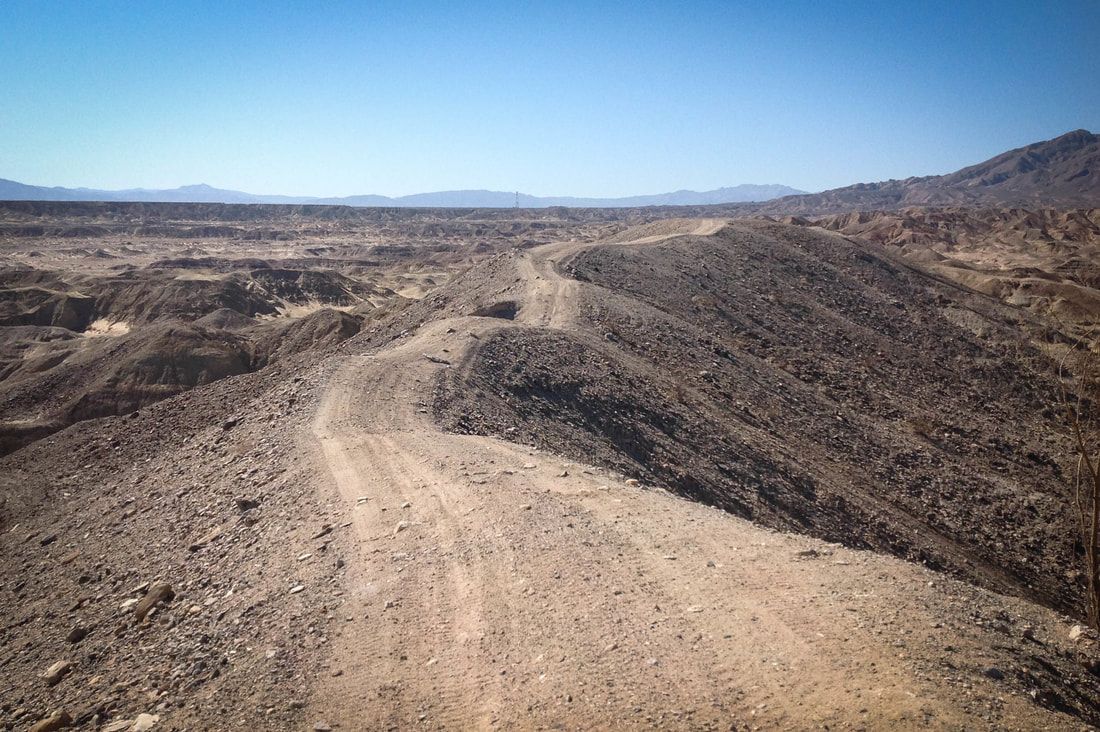
Premier Desert Off-road Riding
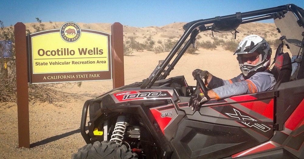
The Ocotillo Wells SVRA is operated by California State Parks, OHMVR Division, located approximately 1.5hrs drive from San Diego, CA. With more than 85,000 acres and varied types of desert terrain, the Ocotillo Wells SVRA provides interesting and unique opportunities for all types of off-road riders. The western boundary and part of the northern boundary connect with the half-million acre Anza-Borrego Desert State Park, which is closed to off-road recreation, but open to exploration by highway-legal vehicles along established primitive roads.
Also referred to as Anza-Borrego Desert, Borrego Springs and by the parks common points of interest including Pole Line Road, Pumpkin Patch, Shell Reef and Blow Sand Hill.

Get a 360 Degree View of the Park
Slide title
Write your caption hereButton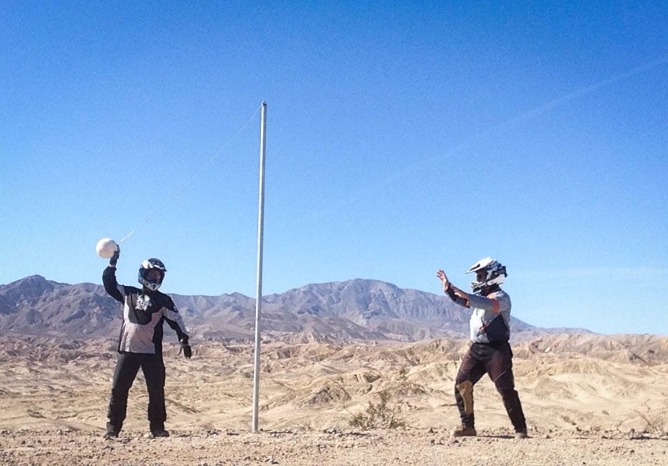
Slide title
Write your caption hereButton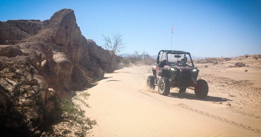
Slide title
Write your caption hereButton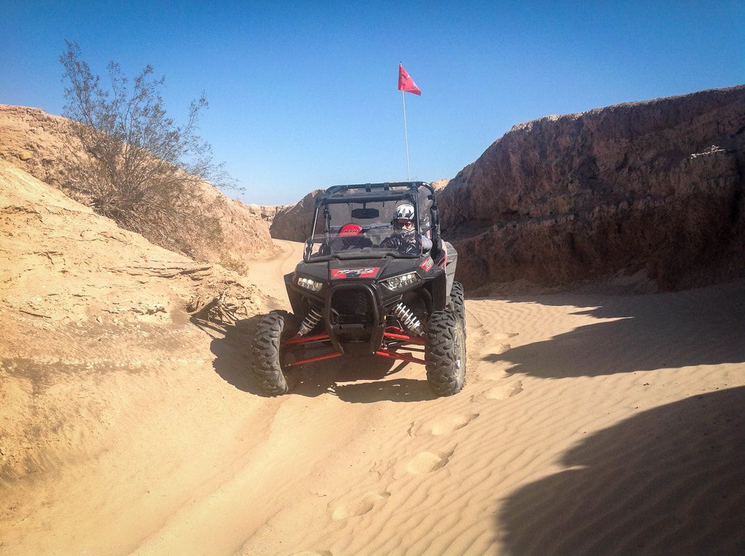
Slide title
Write your caption hereButton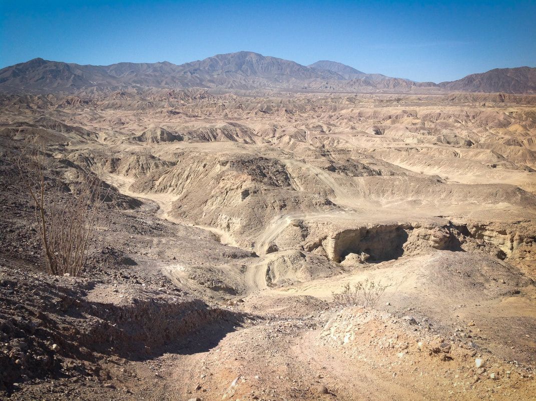
Slide title
Write your caption hereButton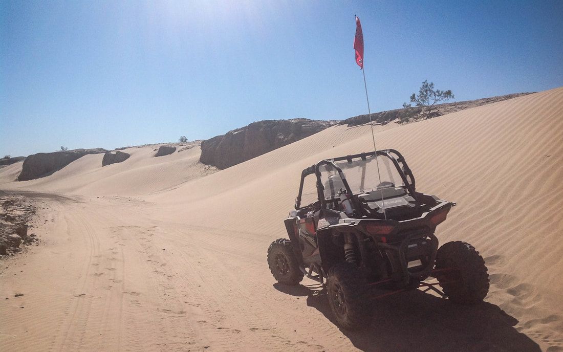
Slide title
Write your caption hereButton
LOCATION
Ocotillo Wells SVRA is located between Anza Borrego State Park on the west and the Salton Sea on the east. Ironwoods Rental is located directly across 78 from the Ocotillo Wells SVRA OHV Park Entrance. A short drive from neighboring Imperial Valley, San Diego and Palm Springs.
ACCESS FROM LA BASIN
Proceed east on I-10 to Palm Springs, south on 86 to to the 78 west.
ACCESS FROM SAN DIEGO
Proceed east on I-8 and take the 79 north to the 78 east.
Services
Vehicle repair shops, telephones, groceries, hotels, motels, RV parks, and restaurants are available in the surrounding communities of Borrego Springs, Ocotillo Wells, and Salton City. Fuel is available in the communities of Borrego Springs and Salton City.
Camping
No fees are collected for camping or day use.
Ocotillo Wells is open seven days a week, 24 hours a day. Open camping is available throughout the park for up to 30 days per calendar year. Camping is not permitted at Shell Reef, Devils Slide, Blowsand Hill, The Notches, or 4X4 Training areas. There is limited camping East of Poleline Road. If you are in a self-contained vehicle with holding tanks, fill your tanks before you arrive—water filling stations are not available. Also, the park does not have a dump station for your waste water disposal.
Vault restrooms and limited shade ramadas are located in the Quarry, Cove, Main Street, Holly Road, and Hidden Valley areas. Pay showers are available on Ranger Station Road, on Main Street, and in Homes Camp. The showers now accept quarters. One quarter provides 2 minutes of hot water; four quarters provides 8 minutes of hot water. Quarters are available at the Discovery Center. Note: Pricing could change.
(source – ohv.parks.ca.gov)
Note: Desert Ironwoods Resort offers potable water and dump station facilities locally for a service fee.
SALTON CITY / SALTON SEA AREA
Destination Polaris made a visit to the Salton Sea area including Ocotillo Wells a few years ago showcasing some of the unique history in the area and how off-road enthusiasts enjoy the valley. Salton City is located just outside of the SVRA to the north on the Salton Sea, the largest lake in California and a one time beach resort destination.
OCOTILLO WELLS CONTACT INFO
For the official SVRA map by CA OHV, please visit – Map of the SVRA
To get in contact with park ranger staff, see their website ohv.parks.ca.gov or:
Address
5172 Highway 78
Borrego Springs CA
Emergency
911